
Chance for above-normal precipitation in about 2 weeks, but for this time of the year, that doesn’t mean much. Freezing temperatures and even some snow fell in Indiana earlier this week forcing us to accept that winter is coming. Figure 1 shows how much colder than normal those minimum temperatures got early Tuesday, October 18th….Read more about Brrrr, that was Cold![Read More]
Climate and Weather
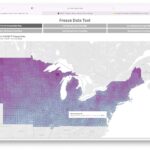
The Midwestern Regional Climate Center recently released a freeze date tool. It makes it easy to find historical temperature information that may help growers plan. This article provides a quick introduction to the tool. Many readers are familiar with the average first fall frost and last spring frost dates, and the frost-free growing season between…Read more about A Look at the Freeze Date Tool from Midwestern Regional Climate Center[Read More]

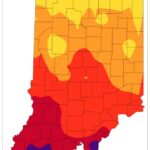
After another wet weekend and cooler temperatures to start this week, it may be surprising to hear that conditions will be changing back to warm and dry for the next several weeks. Climate models are strongly favoring above-normal temperature throughout the rest of September with a slight favoring of below-normal precipitation. Abnormally dry conditions continue…Read more about Warm, Dry Conditions Ahead[Read More]

For the second week in a row, the much-appreciated cooler temperatures remained from August 17-23. The preliminary state average temperature was 71.2◦F, which was 1.2◦F below the 1991-2020 normal. The largest temperature departures were observed in central and southern Indiana, where departures were up to 2.1◦F below normal. After a warm, wet beginning to August,…Read more about Cooler Temperatures and Below Normal Rainfall; Warmer Weather Returning August 24, 2022[Read More]
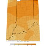
July temperatures averaged 1◦F above normal but had a couple of periods of extreme heat. Twelve stations recorded maximum temperatures in excess of 100◦F. Portions of the month were cooler than normal, which gave way to warmer temperatures again in the last week of July. The heat and humidity continued during the first week of…Read more about Warm Temperatures and Rain Dominate Early August with Cooler Weather Inbound[Read More]
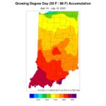
The June 2022 state average precipitation was 2.42 inches below the 1991-2020 normal, which ended up being the 14th driest on record. High heat and reduced precipitation led to the rapid intensification of abnormally dry and moderate drought conditions in the state. As of July 13, July precipitation had continued to be very isolated (Figure…Read more about Isolated Heavy Rainfall, but Drying Continues[Read More]
June 1st marked the beginning of meteorological summer (i.e., June, July, and August). Time between sunrise and sunset is still increasing, temperatures are increasing, and vegetation is growing. How did this past spring compare to climatology and what is expected over the next several months? Let us start with May’s climatology. May’s average temperature across…Read more about Meteorological Summer Begins[Read More]
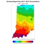
Over the last 30 days (April 3 – May 2), average temperatures ran below normal for most of the state (Figure 1). Southern Indiana temperature departures were near normal to 1°F below normal. Larger temperature departures (1 – 4°F below normal) were observed in central and northern Indiana. Many areas experienced their first 80°F or…Read more about Cool Temperatures and Variable Precipitation Observed Over the Last 30 Days[Read More]
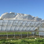
High winds can cause serious damage to high tunnels and greenhouses. Design and construction with this in mind is important to reduce risk. In this article the topic is day to day risk management for a structure that is already constructed. When strong winds threaten, closing up the endwalls and sidewalls can help reduce risk….Read more about National Weather Service Maps Can Aid Decision-Making to Reduce Wind Damage[Read More]